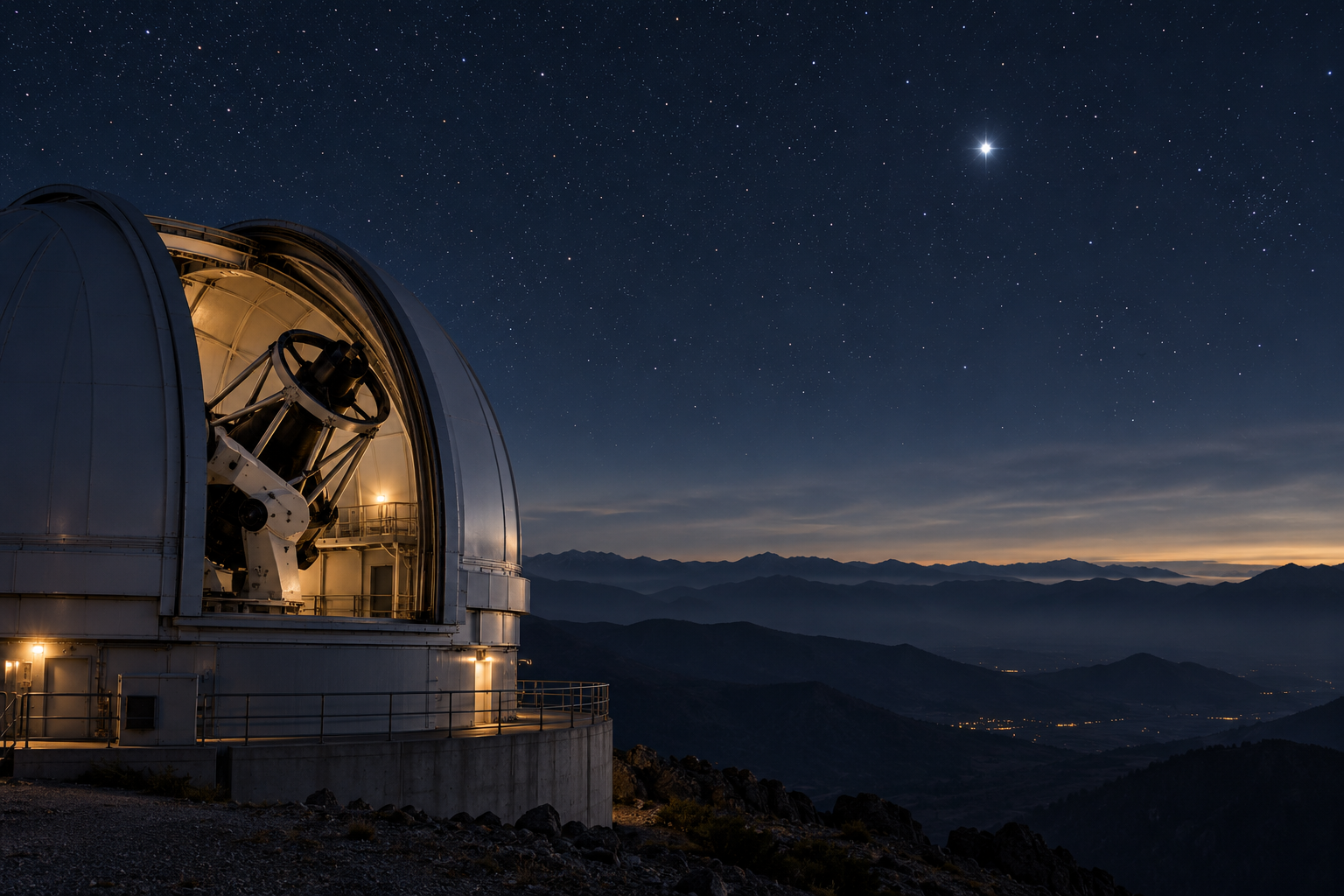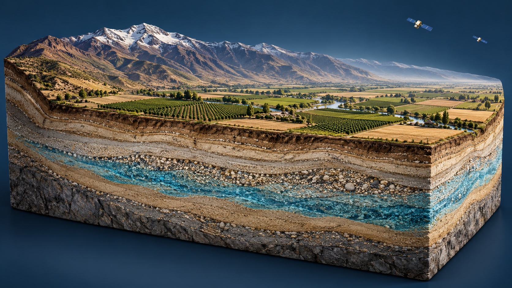
A satellite cannot see through a field and photograph the water in an aquifer. It can, however, respond to the mass that water adds to Earth. That difference explains both the remarkable contribution of GRACE satellite gravimetry and several claims that its maps cannot support by themselves.
The useful picture is a regional balance sheet. Its numbers track changes in storage over time. They do not directly reveal the depth of every water table, the contents of each well, or the amount of usable water remaining beneath a particular farm.
What the satellites exchange is a distance measurement
GRACE's two spacecraft followed one another in orbit. Changes in Earth's gravity affected their relative motion, and extremely precise ranging recorded the resulting changes in separation. Recovering water-storage changes from these measurements requires accounting for other influences on the gravity field. NASA's early explanation of weighing water from space describes this measurement chain and the need to separate its components.
The crucial physical advantage is that gravity responds to mass even when the material is buried. Groundwater is therefore accessible in a way it is not to an ordinary surface camera. But the same advantage produces a classification problem: snow, a lake, moist soil, and an aquifer all contribute mass. Gravity does not label one kilogram as groundwater and another as irrigation water briefly sitting at the surface.
Suppose a hypothetical region loses four units of total stored water over a season. If snow loses two units and surface reservoirs lose one, only one unit of the remaining change would be assigned to the other stores under that simplified accounting. If the snow estimate is wrong, the residual changes. The satellite's total can be valuable while the groundwater estimate carries uncertainty from the subtraction.
That example is bookkeeping rather than a regional result. It shows why calling the final groundwater number “the satellite measurement” compresses several distinct sources of evidence into one phrase.
A change is not an inventory
A storage anomaly is a departure from a reference average. A negative anomaly does not mean negative water; it means less water than the chosen reference. Changing that reference shifts the zero line without changing the physical sequence of gains and losses.
A review of satellite-based terrestrial water storage explains that GRACE provides storage anomalies rather than the absolute total amount of terrestrial water. This is one reason a depletion trend does not automatically yield a countdown to an empty aquifer.
Consider a bank statement that records a withdrawal of a hundred euros without reporting the opening balance. The withdrawal is real, but the remaining balance could be ten euros or ten thousand. Water introduces further complications: availability depends on depth, quality, accessibility, and the physical behavior of the aquifer system. The financial analogy helps only with the first logical gap, between a change and a total.
The same caution applies in the other direction. A wet year can produce a conspicuous positive change without restoring all losses accumulated over earlier years. Whether it does so is an accounting question over an explicit interval. A map colored blue this month is not a declaration that a long-term water problem has ended.
A finer display is not a finer measurement
Gravity-derived water products describe large regions. Their effective resolution depends on the observations, processing, constraints, and averaging interval. A fine output grid can make them easy to combine with other datasets, but neighboring displayed cells may not represent independently resolved water changes.
The review's discussion of spatial resolution and leakage explains why neighboring mass signals can blur into one another and why processing choices matter. A boundary drawn around an aquifer does not force all surrounding gravitational contributions to vanish.
Imagine trying to weigh the contents of one tray on a flexible shelf whose supports also carry neighboring trays. Drawing a neat line on the shelf would not isolate its load. The measurement arrangement determines how well the contributions can be separated. In satellite gravimetry, specialized methods address the separation, but the conceptual issue remains.
This is particularly important when a regional product is displayed over property lines or small administrative districts. The viewer's map can zoom farther than the underlying information supports. Extra local detail must come from additional observations or modeling; it is not created by enlarging the image.
Put other instruments to work on other questions
Well measurements and gravity measurements are complementary because they describe different things. A well can record local water-level behavior. A regional gravity solution constrains storage change over a broad area. Radar observations of land motion can supply another clue, because some groundwater withdrawals are associated with compaction and subsidence.
In California's Tulare Basin, researchers combined GRACE and GRACE Follow-On observations with Sentinel-1 measurements of ground motion and a numerical model to investigate sources and timing of underground water loss. NASA's account of that combined approach describes how delayed compaction can complicate a simple expectation that rain should immediately make the ground rise.
That is a useful warning against one-step interpretations. A measured fall in land elevation is not a universal conversion table for a specific volume of pumped water. The material properties, pressure changes, and time response matter. Combining observations works because it constrains a shared physical explanation, not because every instrument is directly measuring the same quantity.
A sound regional analysis would therefore say what period and area it covers, which storage components were estimated separately, how uncertainties were handled, and what independent observations were available. A sound public summary would retain those boundaries while explaining the consequence: a broad region is gaining or losing stored water, and the likely contributors can be investigated.
The extraordinary achievement is already substantial. Two spacecraft measuring their relative motion can help reveal water changes that thousands of scattered local records may struggle to assemble consistently. That regional perspective deserves to be used fully. It also deserves the precision of language that distinguishes a weighed change from a complete underground inventory.
A thought worth keeping?