On a colored ocean map, a curl looks like a current waiting to be traced with a finger. The curve is real information, but the colors may represent height rather than speed. Turning that surface into moving water requires a physical argument. Turning the moving water into a transport of heat or carbon requires another.
The distinction matters because satellite oceanography is becoming much better at seeing small features. More detail brings more opportunities to understand the ocean, and more opportunities to mistake a visually striking pattern for a complete explanation of its dynamics.
Start with the measured quantity
Radar altimetry measures the travel of a signal between spacecraft and sea surface. Deriving sea-surface height also requires accurate knowledge of the spacecraft's position and the reference system used to express that height. NASA's short explanation of satellite sea-level measurement emphasizes both timing and calibration.
A height measurement is not a tiny current meter dropped from orbit. It says where the surface lies relative to a specified reference. Its scientific usefulness comes from relating the shape of that surface to the forces acting on the water.
To see why the reference matters, imagine measuring a hill's elevation from a floor that slowly tilts. A precise distance to the floor would not, by itself, give a stable elevation. Satellite measurements face a far more sophisticated version of the reference problem. Precision in one link does not cancel errors elsewhere in the chain. The value of calibration is that it makes a sequence of such links usable as a measurement system.
A slope can imply motion, under stated conditions
Differences in sea-surface height are connected to pressure gradients. Over suitable scales, the pressure-gradient force and the effects of Earth's rotation provide a useful relationship between surface slope and current velocity. But the ocean also contains waves, rapidly evolving features, and motions that do not satisfy that simple balance closely enough for every purpose.
SWOT's science program explicitly treats the interpretation of these smaller scales as a research problem. A project combining surface drifters and satellite observations aims to diagnose the contributions of different dynamics and assess how well currents can be derived from surface topography. That is a statement of work to be tested, not a claim that every colored filament already comes with a uniquely known velocity.
There is a general lesson in that distinction. An equation can be physically sound and still be inappropriate for a particular observation. The issue is not whether the ocean obeys physics. It is whether the terms omitted by a simplified calculation are small enough under the conditions being studied. A map gains scientific authority when those conditions are examined, not when its arrows look smooth.
Space and time can disguise one another
Suppose a boat measures the same temperature at three successive stations. If a front moves while the boat travels, those measurements cannot be interpreted exactly like three simultaneous observations. A moving sensor samples a mixture of spatial structure and temporal change. Satellites have a different pattern of coverage, but repeated orbital passes also leave gaps in time.
A preparatory SWOT investigation using underwater gliders and numerical models examined precisely these complications. Its discussion of separating ocean variability describes internal tides, eddies, sampling limits, and examples in which a feature becomes clearer after a different contribution is removed. It also recognizes that the gliders themselves can misrepresent rapidly varying signals through their sampling pattern.
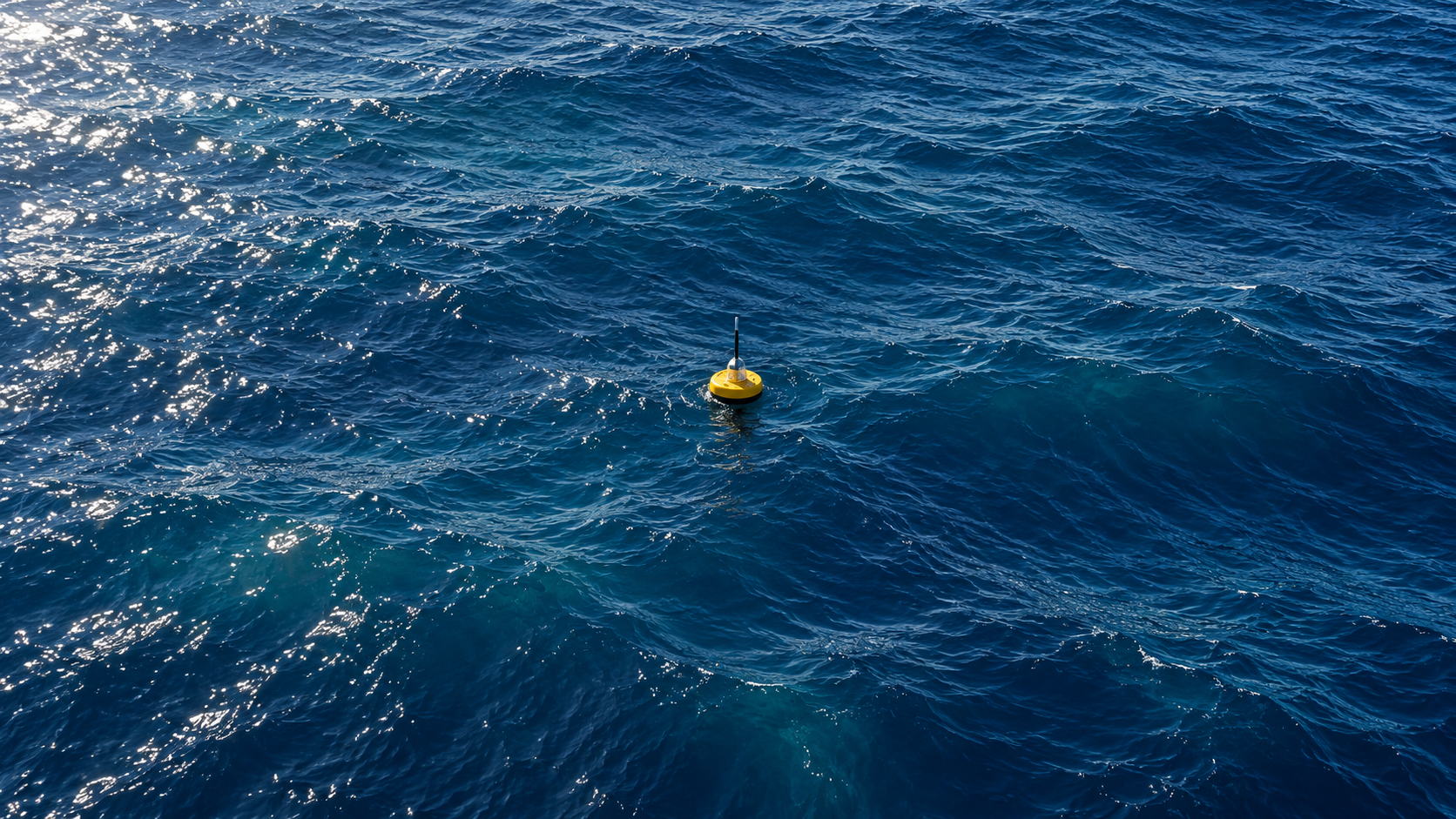
That last point is especially useful. Ground truth is not a magic label that removes all uncertainty. A drifting buoy, a glider, a ship, and a satellite each see a different portion of the moving system. Agreement becomes compelling when the comparison accounts for those differences. Disagreement can be a clue about an instrument, a model, or the ocean's evolution between observations.
Imagine a ring observed on one pass and a displaced ring on the next. It might be the same eddy moving. It might have changed shape. Part of the signal might belong to a wave. Choosing between those accounts needs more than measuring the distance between two colored centers. Repeated coverage, other observations, and a physically consistent time evolution are what turn visual resemblance into a defensible connection.
Transport requires the cargo as well as the vehicle
SWOT has already supported investigations of small eddies and internal waves, including estimates of vertical motion in an eddy near the Kuroshio system. JPL's report on these early scientific applications explains how surface slopes, physical calculations, and additional information can be combined to study movement below the surface.
The extra information is essential. Water moving upward does not have one universal heat content, nutrient concentration, or carbon concentration. A velocity estimate tells us about movement; a transport estimate needs the properties of the water being moved and the area through which it travels.
Consider an invented pair of channels carrying equal volumes of water per second. If the first carries water with twice the concentration of a dissolved substance, its transport of that substance is twice as large. Conversely, a fast narrow jet need not transport more total material than a slower broad current. These simple bookkeeping observations explain why surface motion alone cannot supply every ecological or climate conclusion.
They also show why an impressive local result should not be multiplied across the whole ocean casually. A feature's intensity, duration, frequency, and environment all matter. Mapping more examples helps researchers discover which properties recur and which are regional. A global observing system creates the possibility of that accounting; it does not make the accounting unnecessary.
The strongest way to read a new ocean map is consequently to ask several separate questions. What quantity is colored? Which reference was used? What physical relationship turns that quantity into motion? What observations test that relationship here? What additional measurements connect motion to material transport?
These questions do not drain the wonder from the image. They explain why the wonder is justified. A subtle change in the sea's height, measured from orbit, can constrain processes much deeper than the surface. The achievement lies in building and testing the bridge between those two statements—and keeping its assumptions visible while the maps become ever more detailed.
A thought worth keeping?